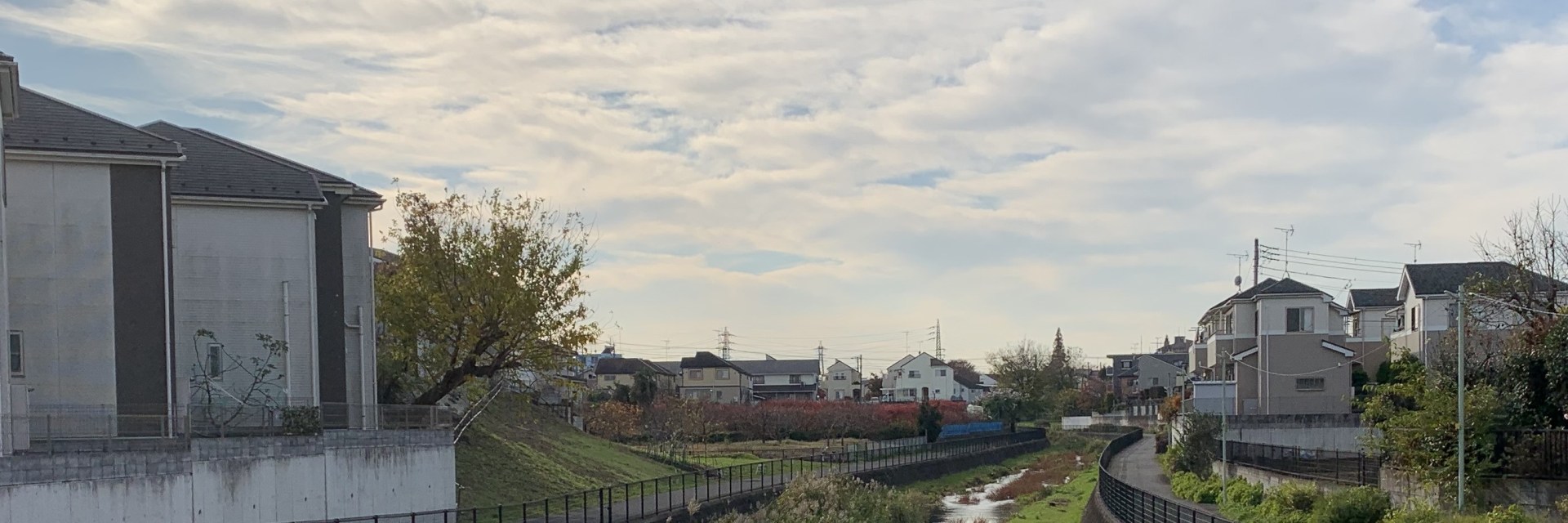
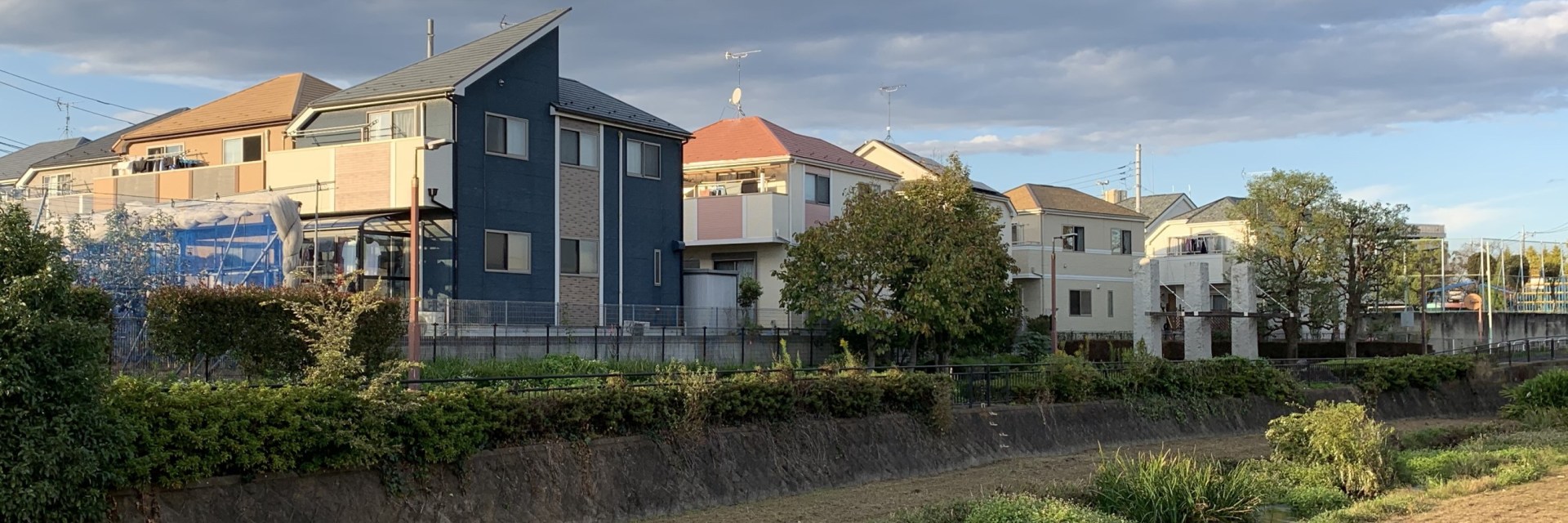
Geography
The geographical area of Higashikurume-shi is about 12.9 square kilometers.
Higashikurume City is smaller than all cities it has a border with, except Kiyose-shi.
The westernmost street in Higashikurume-shi is located in Yanagikubo 4-chome. ( Map )
The northernmost and easternmost streets are both located in Uenohara 2-chome. ( Map )
The southernmost street in Higashikurume-shi is in Yayoi 2-chome. ( Map )
The geographical center of Higashikurume-shi is located in Chuocho 6-chome-5, between Higashikurume 1st Elementary School and Ochiai River ( Map )
Population
The population of Higashikurume-shi is about 117,000 people.
Higashikurume has a smaller population than any of its neighboring cities, except Kiyose-shi.
The population of the area that is a modern-day Higashikurume City had increased from 10,000 people in the mid-1950s to more than 100,000 in the mid-1970s.
Districts
Higashikurume-shi is divided into 23 districts.
Shimosato district has the largest population (about 12.8 thousand people) among all districts of Higashikurume-shi.
Yayoi district has the smallest population (about 1.5 thousand people).
Three most populous districts of Higashikurume-shi (Shimosato, Takiyama and Maesawa) account for more than a quarter of the city’s population.
